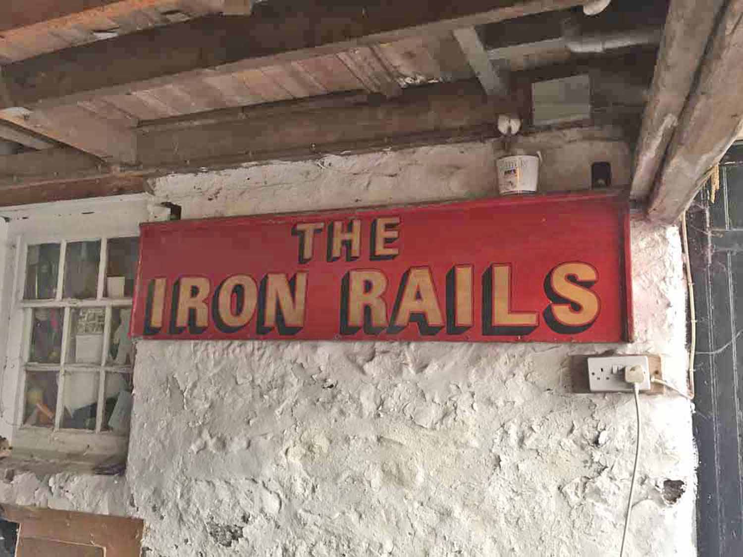
Images of former and current Holy Island pubs, and a location map zoomPhotograph of the old Iron Rails pub sign (HOL 034/002)Colour photographs and an elevation drawing of buildings that were formerly public houses, and two that are currently operating, with a map showing their locationDate of creation 2017 Date of coverage 2017 Extent 13 items Place Holy Island, Northumberland Copyright Depositor Reference number HOL/034 Storage location Holy Island Reading Room Format Miscellaneous (8) Subject Holy Island buildings (80)Life on Holy Island (172) Photograph of the east gable end of the former "Iron Rails" (HOL/034/001) Photograph of the old Iron Rails pub sign (HOL/034/002) Photograph of a ship's timber re-used as a lintel in the "Iron Rails" (HOL/034/003) Elevation drawings of the former "Iron Rails" building (HOL/034/004) Photograph of the former Britannia Inn (HOL/034/005) Photograph of Selby House, formerly the Selby Arms (HOL/034/006) Photograph of the "Crown and Anchor" (HOL/034/007) Photograph of the former Castle Hotel (HOL/034/008) Photograph of the former "Fisherman's Arms" (HOL/034/009) Photograph of the former "Ship Inn" (HOL/034/010) Photograph of the former "Plough Inn" (HOL/034/011) Photograph of the Ship Inn, Marygate; formerly the Northumberland Arms (HOL/034/012) Location map of Holy Island Pubs (HOL/034/013) No CommentsStart the ball rolling by posting a comment on this page! Add a comment about this pageYour email address will not be published. Required fields are marked *Your comment:Name * Email * I consent to my name and e-mail address being stored along with this comment, and to the website editors communicating with me by e-mail about the comment if necessary. My name may be published alongside the comment on the website, but my e-mail address will not be published. My information will not be shared with any third party (see our Privacy Statement - opens in a new window). * Δ Browse this collectionHoly IslandImages of former and current Holy Island pubs, and a location mapPhotograph of the east gable end of the former "Iron Rails"Photograph of the old Iron Rails pub signPhotograph of a ship's timber re-used as a lintel in the "Iron Rails"Elevation drawings of the former "Iron Rails" buildingPhotograph of the former Britannia InnPhotograph of Selby House, formerly the Selby ArmsPhotograph of the "Crown and Anchor"Photograph of the former Castle HotelPhotograph of the former "Fisherman's Arms"Photograph of the former "Ship Inn"Photograph of the former "Plough Inn"Photograph of the Ship Inn, Marygate; formerly the Northumberland ArmsLocation map of Holy Island Pubs Search the archiveText searchDate searchList of subjectsList of formatsShare thisFacebookPinterestTwitterLinkedin


No Comments
Add a comment about this page